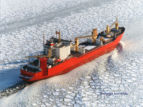
Photo: Aker Arctic
Projects: Marine Transportation
Dickins’ marine transportation studies cover most of the world’s deep draft shipping routes in ice covered regions including: the Russian Northern Sea Route, Sakhalin Island, Labrador Coast, the Canadian Northwest Passage and U.S. Arctic. Logistics support included providing ice analysis to assist: the tow-out of the CIDS drilling unit from Prudhoe Bay to Russia in 2001, and the ExxonMobil sealift to NE Sakhalin in the fall of 2002.From 1996-2004, Dickins Associates completed a series of projects related to the environmental assessment and technical feasibility of winter shipping to the serve two proposed new mining developments in Canada: Voisey’s Bay on the Labrador Coast and at Grays Bay in the Coronation Gulf region of the Northwest Territories. Work involved shipping route investigations, ice studies, field surveys, remote sensing interpretation, literature reviews and participation at community hearings.
A number of projects have involved feasibility studies into the use of icebreaking LNG carriers to move natural gas from fields in the Canadian High Arctic and Alaska, including a 2008 update to the original Arctic Pilot project using new ice data.
Selected Marine Transportation Projects
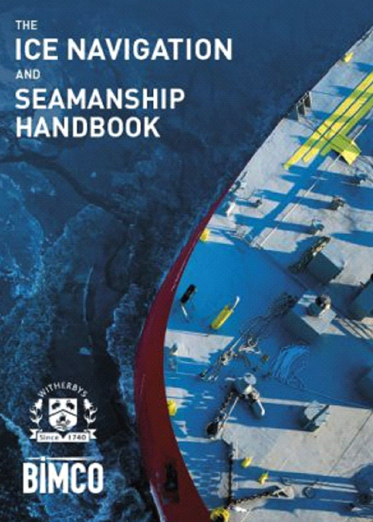
The Ice Navigation and Seamanship Handbook 2019
This 360-page publication provides a detailed explanation of every aspect of seamanship and navigation in ice. It will allow seafarers to acquire the necessary knowledge and understanding of this challenging environment which, when combined with practical experience, will enable safe navigation in ice.
Topics covered include types of ice and where they may be encountered, preparing the ship and crew for ice conditions, ship handling and navigation in ice, the Polar Code and other regulations, working with icebreakers, and pollution response.
DF Dickins prepared the chapter dealing with all aspects of pollution in ice-covered waters including reviews of historical incidents, oil fate and behaviour, spill detection and surveillance, spill response strategies involving mechanical systems, dispersants and in-situ burning, international agreements and liability conventions governing shipborne pollution, and regional response resources.
https://www.amazon.com/Ice-
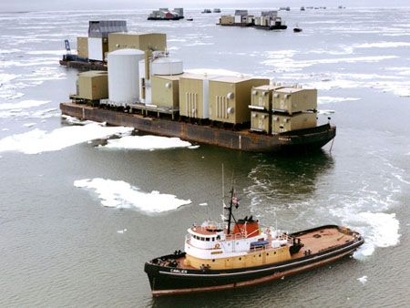
Barges off Prudhoe Bay
Photo: Crowley Maritime Services
Transportability Of Fabricated Modules Through The Canadian Northwest Passage
for BMT Fleet Technology, Ottawa 2007/08
Dickins participated in a study for Petroleum Research Atlantic Canada on behalf of a group of oil and gas majors with interests in Mackenzie Valley gas developments. The company’s contribution included the development of historical ice databases focusing on the eastern access route into the Beaufort Sea via the traditional Northwest Passage through Lancaster Sound to Coronation Gulf.
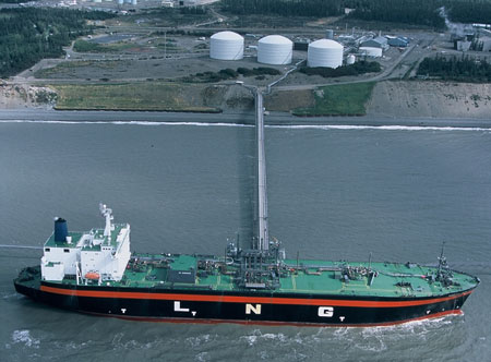
Photo: Wikipedia Commons
Arctic LNG Project
for Petro Canada, 2008 (with Sandwell Engineers and AKAC Inc.)
Dickins developed a detailed ice database along east and westbound routes leading a proposed LNG terminal on Melville Island in the Canadian High Arctic. The data was used by AKAC as input into their ship performance model that predicted vessel speeds along the routes at different times of they year. Dickins previous experience in this area involved supporting the original Arctic Pilot Project by looking at alternative deep draft routes – see 1979 project in the Archive.
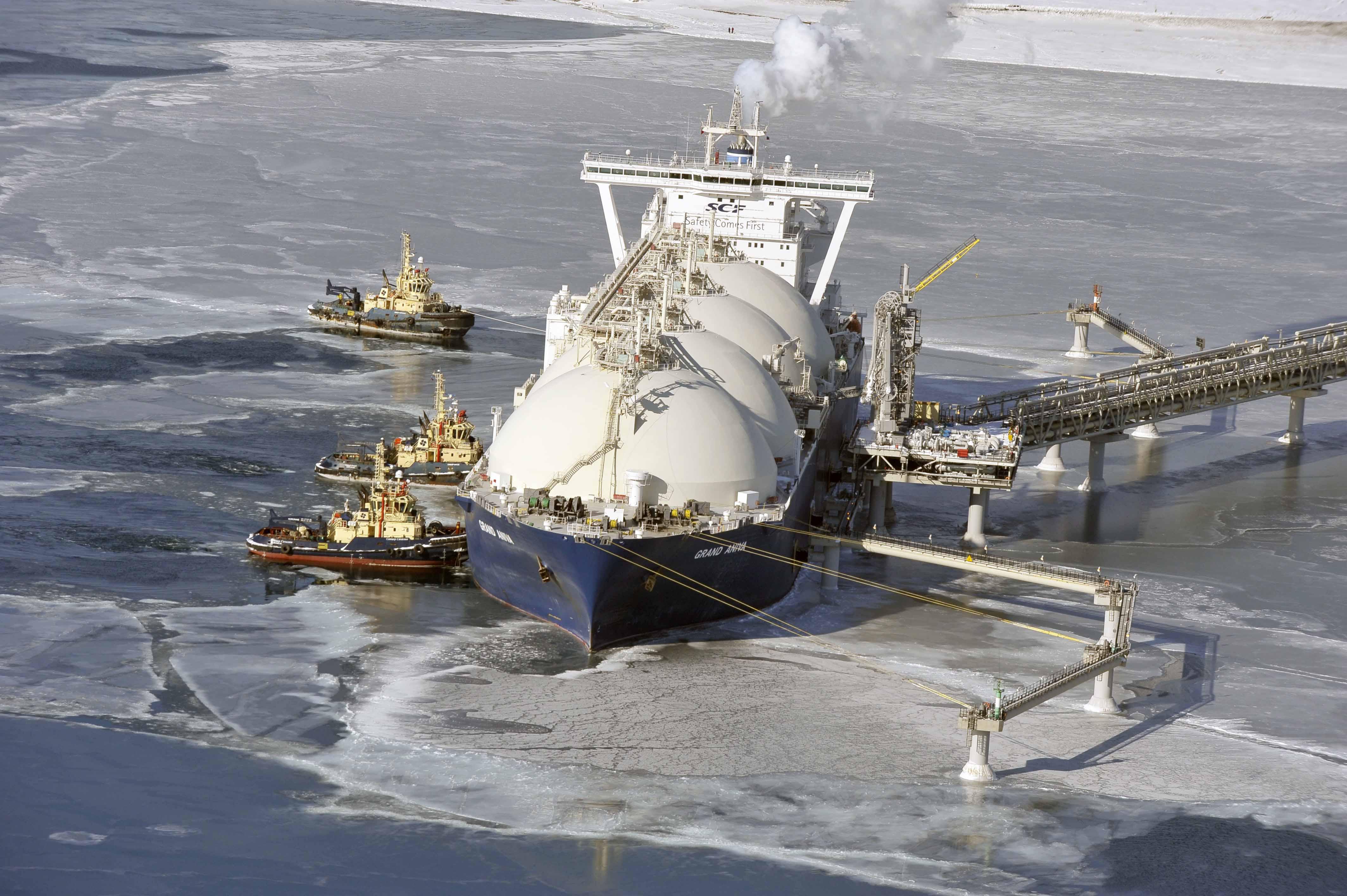
Photo: Sakhalin Energy
LNG Terminal Ice Environments
for Sandwell Engineers, 2006
This study focused on documenting all aspects of the expected ice environment that icebreaking LNG tankers would face enroute to two possible terminal locations in Alaska – Kivalina and Wainwright. The work utilized satellite imagery, ice charts and the results of earlier studies carried out by Dickins and Vaudrey for the original Arctic LNG project partners in 1993/94.
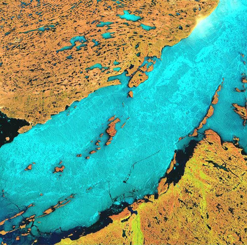
USGS Landsat 7 Image of July 2, 2002, showing ice in the study area.
Review of Summer Ice Conditions Affecting Vessel Access to the High Lake Project
for Wolfden Resources, 2004
This report reviews the range of expected ice conditions and shipping seasons for ice strengthened cargo vessels serving Grays Bay, the site of a promising new mining prospect in the Coronation Gulf region of Nunavut Territory, Canada. A 1998 feasibility study into the use deep-sea vessels to serve Western Arctic communities (see project below) provided the necessary historical ice database. The earlier work was supplemented in this study by recent Canadian Ice Service data on ice clearing trends (1998 to 2003), and by searching for Landsat 7 colour satellite imagery, available since 1999. In addition, new material was developed to cover the present status of Arctic shipping regulations and possible long-term trends in ice severity related to climatic change.
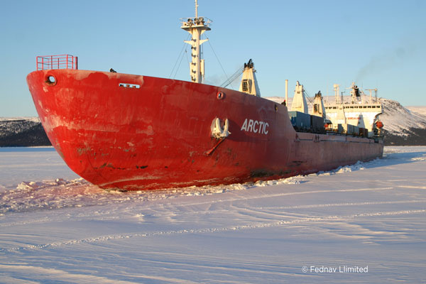
Photo: Fednav Limited
Winter Shipping Protocol for Voisey’s Bay
with Westmar Consultants for Inco Ltd., 2004
This project built on the company’s previous work for Inco (1996-2002) to assess the likely capabilities of different vessels in serving the mine site during the winter period. A modified form of the Canadian Arctic Ice Regime Shipping System (AIRSS) was used to evaluate the expected shipping seasons with different levels of ice strengthening, based on previously developed ice databases.
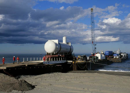
Photo: Crowley Maritime Services
NE Sakhalin Sealift Support
for The Glosten Associates, Seattle, 2002
Dickins provided ice interpretations from available charts and tracked temperature trends in support of a sealift to offload construction equipment at Chayvo on the Northeast Coast of Sakhalin Island.
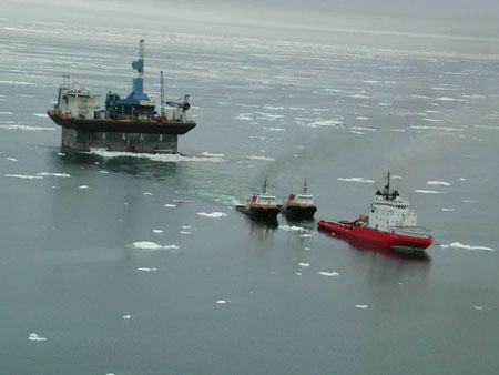
Photo: Crowley Maritime Services
CIDS Drilling Platform Move
for The Glosten Associates, Seattle, 2001 (ExxonMobil, Houston)
Dickins provided seasonal ice outlooks for the months preceding the tow of the CIDS concrete drilling structure from Prudhoe Bay to Russia and provided Radarsat imagery and ice interpretations to the tow masters during the critical initial stages of the move through the Beaufort Sea.
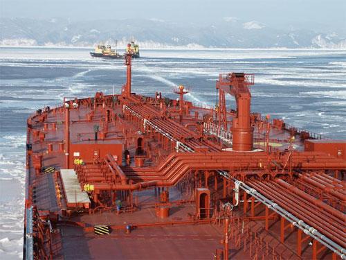
Tanker operations in Tatar Strait, Sakhalin Island
Photo: ExxonNeftegas Limited.
Sakhalin Island Oil and Gas Developments
for an oil industry client, 1995 – 1997
This project used all available satellite imagery over a 25 year period together with US Navy and Japanese ice charts. A database of historical ice conditions was created for proposed drilling locations, port sites and tanker routes.
Beaufort Sea Logistics
for Alaska Clean Seas with SL Ross, 1998
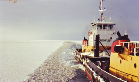
This project evaluated a full range of logistics options to determine the most effective means of responding to an oil spill in broken ice. Part of the analysis involved predicting the latest dates that ice-strengthened barges could access offshore locations.
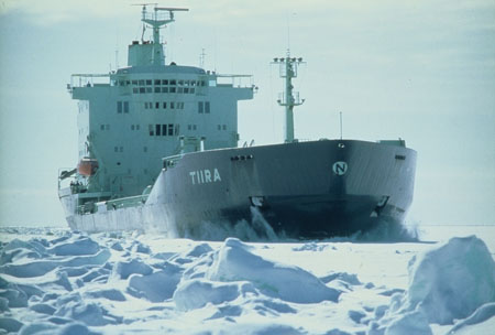
Photo: Neste OY
Technical Aspects of Deep Draft Shipping to the Western Arctic
for the Department of Transportation, Government of the Northwest Territories, 1998
This project evaluated the feasibility of supplying ten Western Arctic Communities, now served by barge, with deep-sea vessels entering from the east or west. The report covers expected worst-case ice conditions, a worldwide inventory of ice capable commercial vessels, an evaluation of each port site, and an overview of long-term reliability using existing vessels.

Photo: Aker Arctic
Voisey’s Bay Winter Shipping
for Voisey’s Bay Nickel Company, 1996 to 1998
DF Dickins worked with Voisey’s Bay Nickel over a period of three years to evaluate the technical feasibility of winter shipping into a proposed new mine site on the Labrador Coast. Work included preparation of sections of the final Environmental Assessment dealing with the physical impacts of winter icebreaking, route investigations, ice studies, remote sensing interpretation, literature reviews, facilitating workshops and meetings on winter shipping and making expert witness presentations before the Federal Environmental Review Panel.
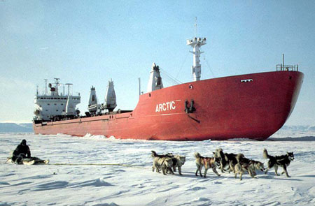
Photo: Canarctic (now Fednav Limited)
Environmental Sensitivity and Risk Analysis along a Tanker Route
for Transport Canada (subcontract to Canarctic Shipping Co. Ltd.), 1992
Dickins Associates evaluated the environmental sensitivity of a tanker route from the Canadian High Arctic to Montreal. Human use, biological resources, special status areas, and shoreline sensitivities were evaluated on each segment of the route. The final analysis combined the potential for casualties with environmental sensitivity to arrive at a risk profile for the MV Arctic.
Icebreaker Escort Database
for Canadian Coast Guard Northern (subcontract to Norland Science & Engineering),1991
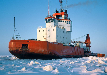
The new Ice Regime Shipping Control System required development for special cases of ice navigation, such as the benefit of escorts to following vessels. Dickins obtained access to ship logs of commercial operators in order to compile data on escorts by commercial icebreakers.
Northwest Passage Voyage, October 1990
for Canadian Coast Guard, Arctic Ship Safety, 1990
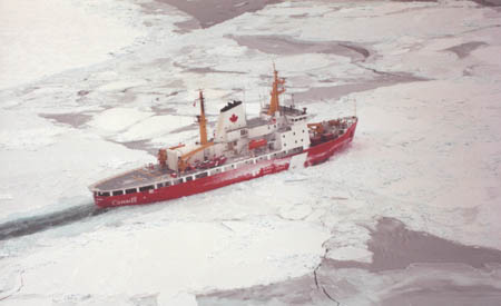
This voyage was the first practical test of the proposed new Ice Regime Shipping Control System onboard an industry icebreaker (Gulf Canada’s MV Ikaluk). Dickins provided a team of two ice scientists to monitor vessel progress and ice conditions along a route through the historic Northwest Passage, from the Canadian Beaufort Sea to Resolute.
Ice Conditions in the Soviet Arctic
for Wartsila, Helsinki, 1987
This study utilized all available public sources to provide a statistical summary of ice conditions along the Soviet Northern Sea Route (Laptev Sea, Kara Sea, East Siberian Sea and Chukchi Sea). The Soviet Arctic was divided into 33 environmental zones for presentation of detailed ice statistics. Selected Defense Meteorological Satellite Program (DMSP) images were used to map leads and thin ice areas along the route.
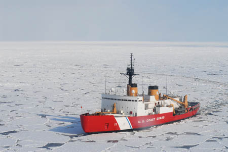
Photo: US Coast Gaurd
International Polar Transportation Conference
for World’s Exposition, Vancouver Canada May 1986
DF Dickins Associates organized and facilitated a major international conference of experts from around the world on transportation systems for polar regions, including themes of aviation, surface transport and marine navigation. David Dickins and Aileen Cassidy created and chaired a three-day technical program with invited speakers. The event was highly successful with 200 participants, including representatives from the Soviet Union.
