ERS-1 Sea Ice Analysis
for Amoco, 1993-94
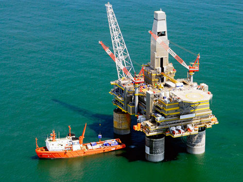
ERS-1 radar satellite imagery was used to identify general sea ice conditions off the Russian Yamal Peninsula in the Kara Sea. Specific mapping details included lead systems, areas of ice deformation, shear zones, and landfast ice edges. Results were used to plan pipeline routes and port sites.
Beaufort and Chukchi Sea Ice Databases
for Elf Aquitaine, 1990
In order to assist with the client’s arctic exploration plans, Dickins was contracted to develop a computer database of ice conditions for selected drilling locations in the North Chukchi Sea from Wainwright to Point Barrow in the Alaskan Arctic.
Arctic Offshore Environmental Design Summary
for Elf Aquitaine, 1990
Dickins completed an engineering “handbook” of all relevant offshore design parameters of interest to structural and marine engineering groups planning Chukchi Sea developments.
Publications: Environmental and Offshore
Ice/Scour Interaction
for Bedford Institute of Oceanography, 1989/90
The objectives of this study were to investigate all potential correlations between observations of the sea ice canopy (movement, morphology, old ice concentration) and seabed mapping of ice scours (frequency, depth and orientation) in the Beaufort Sea.
Ice-Structure Interaction Probabilistic Models: Input Parameters
with Sandwell Swan Wooster for Public Works Canada, 1988-1989
This project assessed the quality of ice data sets available for input to probabilistic models of ice-structure interaction. The impact of uncertainties in the ice information was investigated by applying the model to a number of selected scenarios in the Beaufort Sea and Canadian East Coast.
Verification of New Canadian Offshore Design Codes
for Canadian Standards Association, 1988-1989
Dickins acted as the prime contractor (with Sandwell Swan Wooster Inc.) responsible for exercising CSA’s new offshore design codes for arctic drilling structures. The available probabilistic models and environmental databases were evaluated to determine whether the probabilistic approach to offshore design, based on specified target safety levels, is practical and usable within the framework of existing ice knowledge.
Beaufort Sea Ice Design Criteria
for Det norske Veritas (Canada) Ltd., 1985
Dickins Associates acted as specialist advisor on environmental inputs to develop a probabilistic model for ice loads.
Route Specific Ice Conditions
for Gulf Canada Resources Inc., 1985
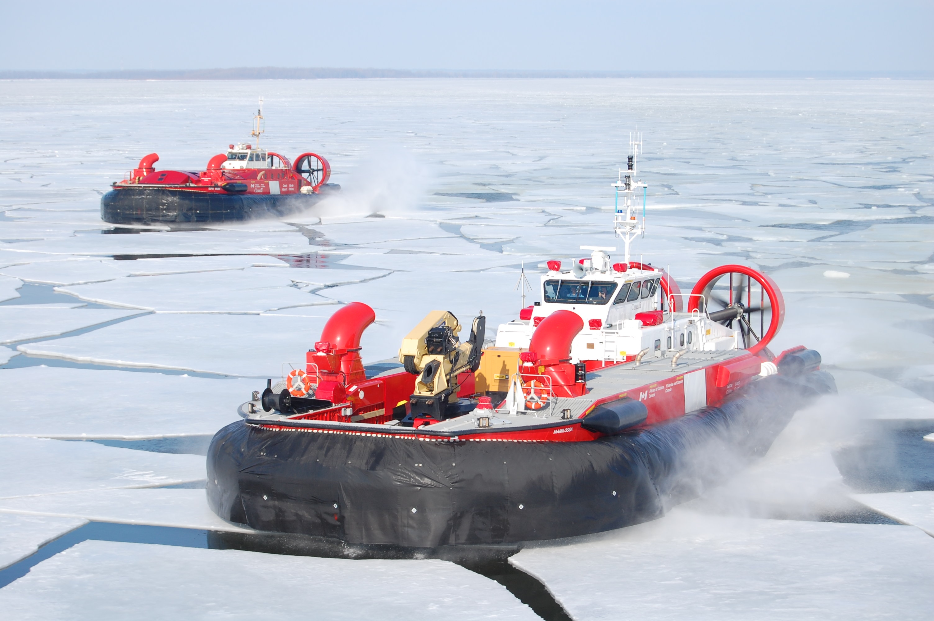
This study evaluated environmental conditions along five potential marine transportation and pipeline routes to the Amauligak offshore oil discovery for hovercraft, vessels and pipelines.
Ice Conditions at Beaufort Sea Drilling Sites
with Swan Wooster Engineering for Placid Oil Company, 1984
This study provides a detailed statistical description of the physical environment at five potential drilling sites between Point Barrow and Barter Island. Emphasis was placed on a realistic appraisal of the summer drilling window, taking into account ice interruptions, pack ice movements and whale migration. Other important considerations included superstructure icing and ice gouging.
Pipeline Repair Study
with Intec Engineering Inc. for SOHIO Petroleum Company, 1984
DF Dickins Associates evaluated environmental conditions and expected oilspill situations along a potential pipeline route extending twenty miles offshore. The primary study objective was to assess pipeline repair techniques in the Alaskan Beaufort Sea.
Summary of Operating Conditions, Kulluk and Molikpaq (3 Volumes)
for Gulf Canada Resources Inc., 1984
These field guides review all available ice information for the southern Beaufort Sea, and summarize important offshore conditions affecting the operation of Gulf’s drilling systems.
Summary of Mooring Ice Conditions
for Gulf Canada Resources Inc., 1983
This volume describes the nearshore ice environment governing winter mooring and spring break-out of ‘Kulluk’ and its support vessels. The presentation of ice conditions is keyed to the requirement for a minimum safe water depth of 46 feet.
Evaluation of McKinley Bay Ice Movements
for Dome Petroleum Limited, 1980
This project involved field and analytical determinations of the causes and effects of the large scale ice movements experienced in December 1979 in the Dome winter anchorage. Calculations were made of probability and severity of wind stress likely to cause ice pile-ups in different directions.

